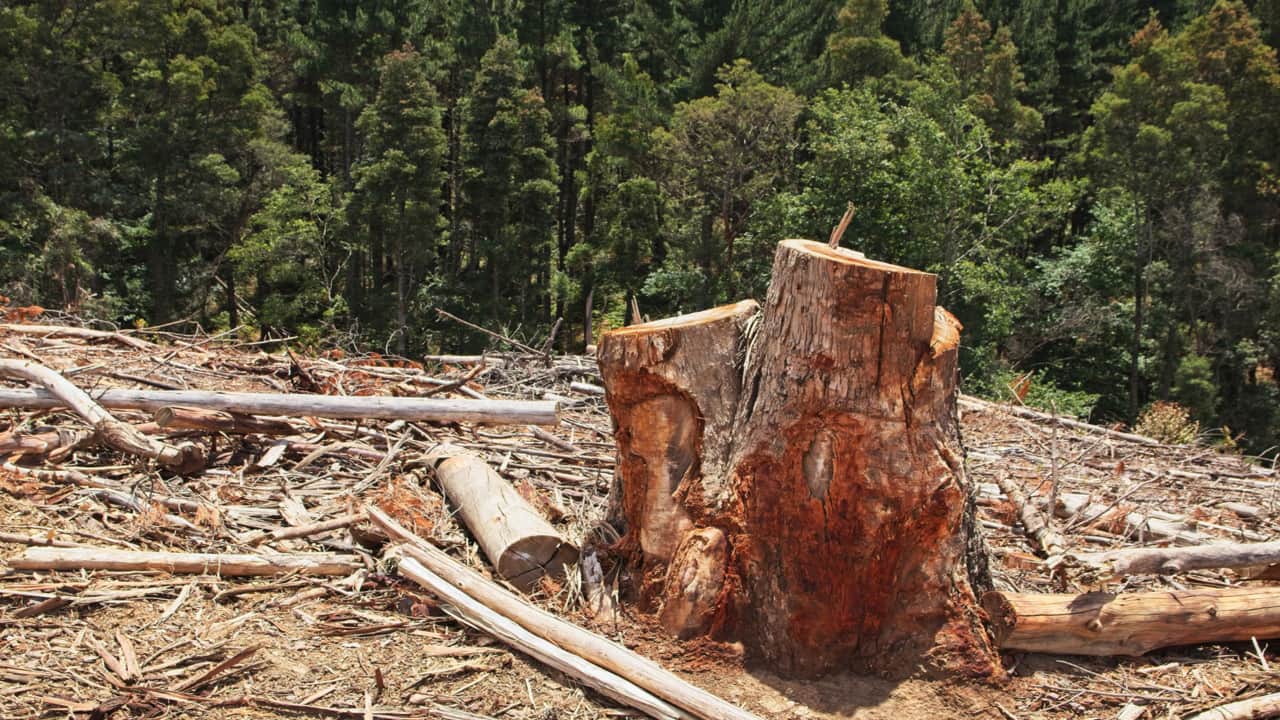
Agricultural expansion is the leading direct cause of permanent deforestation worldwide. Forest is cleared for pasture, crops and commercial plantations. But a map showing trees disappearing does not necessarily prove that land has permanently changed use: logging, wildfire and some shifting cultivation also create tree-cover loss, and forests may regrow. The distinction changes what a global statistic means.
The FAO’s remote sensing survey for 2000–2018 attributed almost 90% of deforestation to agricultural expansion. That estimate describes deforestation under its land-use definitions, not 90% of every satellite-detected loss of tree cover.
What actually counts as deforestation?
Deforestation means conversion of forest to another land use or a long-term reduction of forest cover below the threshold used by the reporting system. Forest degradation means a forest loses ecological quality or biomass while remaining classified as forest. Tree-cover loss is a remotely sensed change in canopy, which may be temporary. A single satellite disturbance can therefore be important without proving permanent deforestation.
Use WU’s deforestation overview for forest definitions and trends; this page focuses on why conversion occurs. Different datasets measure different things: FAO combines country reporting and remote sensing, whereas WRI’s tree-cover-loss driver mapping identifies likely drivers of canopy loss. They should not be treated as interchangeable percentages.
The biggest drivers of deforestation, compared
| Driver | What happens | Permanent conversion? |
|---|---|---|
| Agricultural expansion | Forest replaced by pasture, crops or tree plantations | Often yes |
| Logging and timber extraction | Trees removed selectively or across an area | Not necessarily; can lead to later clearance |
| Roads and infrastructure | Direct clearing plus new access to surrounding forest | Often direct and can enable other drivers |
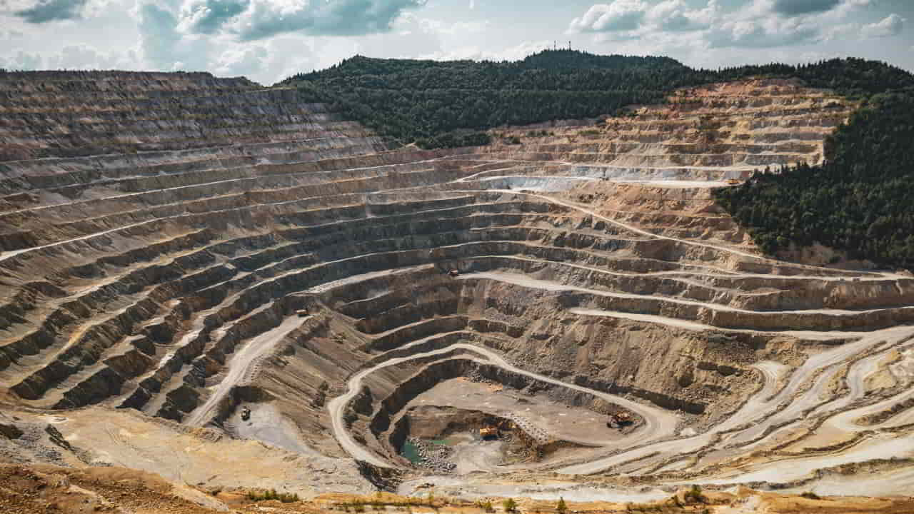
| Mining and extraction | Sites, roads and related settlements replace forest | Often yes within developed areas |
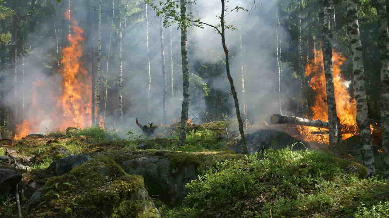
| Fire | Canopy burned by accidental or intentional fires | Depends on subsequent recovery and land use |
| Shifting cultivation | Vegetation cleared for farming, sometimes followed by fallow | Varies with fallow and land-use change |
Agriculture: pasture, crops and plantations
Agriculture is not a single commodity. Cattle pasture, commercial crops, subsistence farming and tree crops involve different regions and supply chains. Some land is cleared directly for farms; elsewhere a road or earlier timber extraction makes later agricultural conversion easier. The immediate land use and the wider economic pressure should be identified separately.
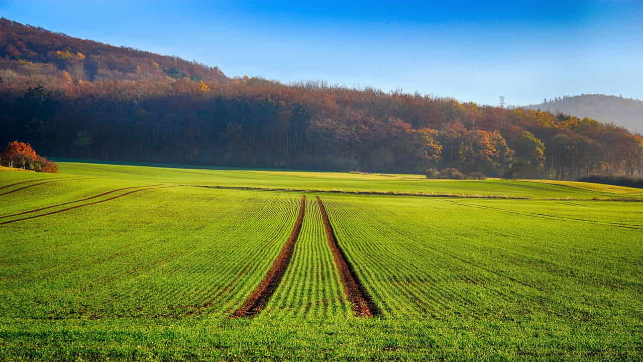
For the mechanisms behind new cropland and grazing land, see Agricultural expansion and forest loss. Commodity-driven estimates can be useful, but figures such as the share attributed to beef depend on the commodity model, time period and denominator; they cannot be applied to all tree-cover loss. See Our World in Data’s commodity analysis and the underlying studies.
Palm oil and other tree crops
Oil palm can replace tropical forest, particularly where new plantations expand into natural forest rather than existing agricultural land. Not every oil-palm plantation was established by clearing forest, however, and replacing palm oil with a less land-efficient crop is not automatically a forest-saving solution. The important questions are where a plantation was established, what land occupied it beforehand, and whether supply-chain safeguards are enforced.

Read the separate palm oil and deforestation analysis for this commodity’s specific footprint.
Logging and timber extraction
Commercial logging removes trees and can fragment the canopy, increase access and make forests more vulnerable to subsequent fire or agricultural conversion. Logging does not always meet the definition of permanent deforestation: a managed forest may regrow and remain legally classified as forest. It can nevertheless cause substantial ecological damage, especially when roads, repeated extraction and weak regulation combine.
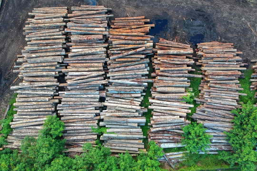
The separate logging guide covers forestry practices and their impacts.
Roads, infrastructure and settlement
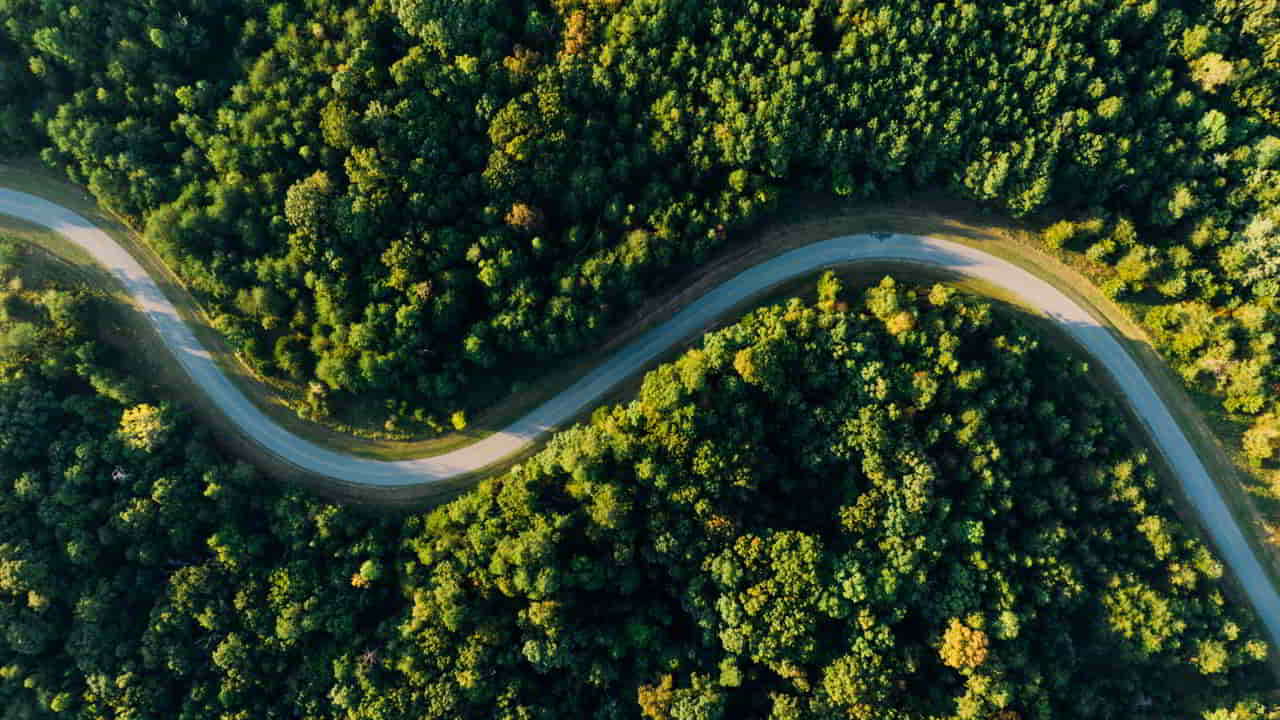
Road construction clears its own corridor, but its greater indirect effect may be access. Roads can lower transport costs for timber, crops and livestock, encourage settlement and push the agricultural frontier into previously remote forest. Dams, power lines and expanding cities also replace forest at particular sites. Population growth alone is too broad an explanation without looking at land policies, transport access and consumption.
Mining, extraction and associated development
Surface mines, processing sites, waste facilities and connecting roads can permanently convert forest locally. Secondary effects may extend beyond the mine footprint through migration, illegal settlement, water contamination and new roads. The scale varies greatly by mineral, extraction method and region.
Fire, drought and shifting cultivation
Fires can remove vast amounts of canopy and make forests more vulnerable to further disturbance, particularly after drought or logging. But a burned canopy does not prove that forest was converted to another land use. Some tropical fires are part of clearing for agriculture; others burn in forests that may recover. Shifting cultivation likewise varies from long-fallow systems with regrowth to shortened cycles that prevent recovery. Assessment requires looking at what happened after the initial loss.
Why the drivers change from place to place
The leading cause depends on the region and on what the dataset measures. WRI’s 2025 driver analysis estimated that permanent agriculture accounted for approximately 73% of tree-cover loss in Latin America and 66% in Southeast Asia over 2001–2024; these are regional shares of tree-cover loss, not worldwide shares of permanent deforestation. Other land uses and disturbances remain important within each region. WRI’s June 2025 analysis explains the classification and its limits.
| Region | Important drivers | What makes the picture different |
|---|---|---|
| Amazon and wider Latin America | Cattle pasture and crops; roads, mining and fire in particular areas | Pasture conversion is significant, but commodity mix and fire impacts vary between countries. |
| Southeast Asia | Oil palm, other plantations and agricultural expansion; small-scale farming in some areas | Industrial commodity expansion and local livelihood-driven clearance are not interchangeable. |
| Congo Basin | Smallholder agriculture, charcoal/fuelwood, timber removal and fire | Income constraints, conflict, shortened fallows and governance affect whether vegetation regrows. |
| Temperate and boreal forests | Logging and wildfire | Extensive tree-cover loss may take place without conversion to a permanent non-forest land use. |
Across the world, the distinction between tree-cover loss and deforestation is especially important. WRI’s 2001–2024 dataset classified roughly 34% of global tree-cover loss as likely permanent, with agriculture representing most of that category. Separately, its analysis of 2025 found fire caused 42% of annual global tree-cover loss. The periods and denominators differ, so these two figures should not be added together. Sources: WRI, global drivers (June 2025); WRI, 2025 forest-loss review (April 2026); Global Forest Review: Congo Basin context.
Forest-cover alerts are an important starting point. A credible driver assessment also checks land use after clearing, crop or pasture records, roads, company or land-tenure documentation and local field evidence. A satellite picture alone cannot establish who cleared the land or why.
The underlying pressures: governance, land rights and demand
Direct drivers tell us what physically replaced or disturbed the forest. Underlying pressures help explain why it happened: commodity demand, unclear tenure, land speculation, weak enforcement, incentives to clear land, infrastructure investment and insecure livelihoods. Their effects are connected. A road may accelerate pasture expansion; weak land rights may facilitate illegal clearance; global demand may reward a particular crop.
What the evidence can—and cannot—tell us
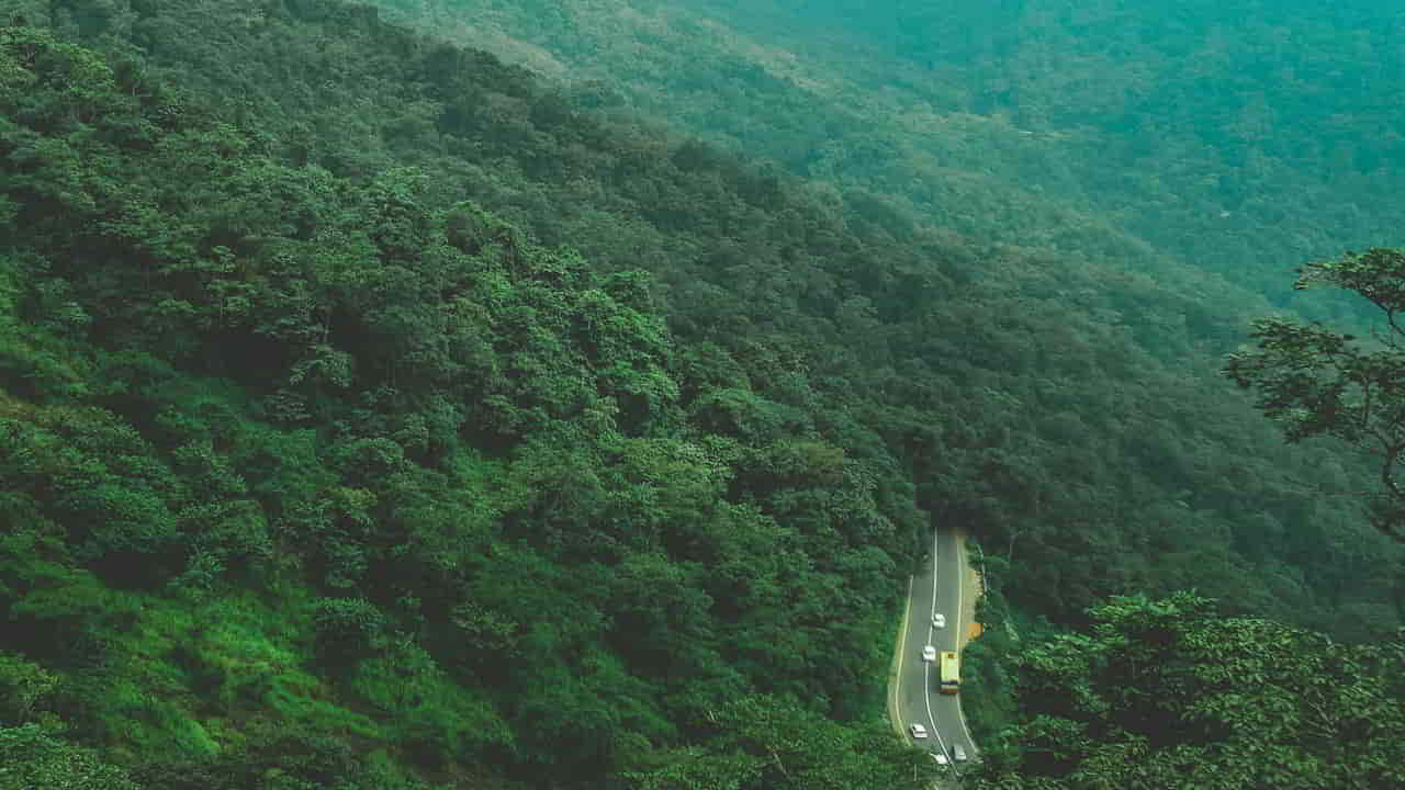
The strongest global conclusion is that agricultural expansion dominates permanent forest conversion. It does not follow that every observed canopy loss is agricultural, that all logging is permanent deforestation or that a single global estimate applies equally to every region. The meaningful question is: which dataset, definition, period and place produced the claim?
What responses match which driver?
Different drivers call for different responses: protecting intact forests and land rights, reducing incentives for illegal conversion, improving supply-chain traceability, preventing destructive roads and land grabs, supporting farming without expansion into natural forests, and responding to fire risk where evidence supports it. Effectiveness depends on enforcement and local conditions. Our deforestation solutions guide examines policy options in depth, while effects of deforestation deals with consequences rather than causes.
Research and further reading
- FAO, Remote Sensing Survey 2000–2018 — direct drivers of deforestation and degradation.
- FAO, Global Forest Resources Assessment — area, definitions and long-run change.
- World Resources Institute, drivers of tree-cover loss — satellite mapping and interpretation.
- Our World in Data, commodity-driven deforestation — commodity attribution and methodological distinctions.
- IPCC AR6, tropical forests assessment — forest risks and social and ecological context.